Downloads Grand River Information Network
Interested in downloading GRCA data for analysis, charts, or making a map? We provide a variety of datasets, models, and static maps for download.
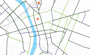
Geospatial Download
GRCA maintains a collection of data layers for its Geographic Information System (GIS). You can download over 50 layers of data directly from our data catalogue. [Photo Credit: Jie Huang with permission]
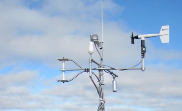
Monitoring Download
We constantly monitor stream flow, water quality, meteorological conditions, and operational conditions at GRCA dams. This information is collected and transmitted from each station to GRCA's Operations Centre in Cambridge, Ontario once an hour.

Other Download
This is where the downloadable items that don't have a home elsewhere all live. Large scale PDF maps of the watershed, Groundwater models, and other items can be found here. [Photo Credit: Philippe Put CC-BY-2.0]